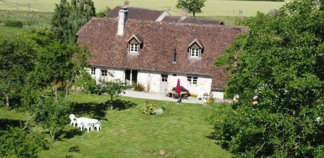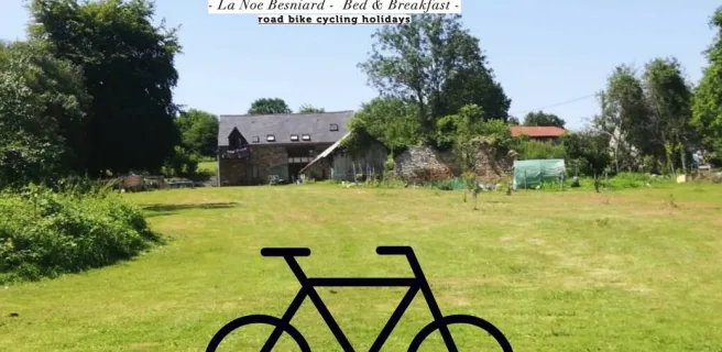


Alençon / Pré-en-Pail-Saint-Samson

On this stage, you ride to Bagnoles de l'Orne along the most family-friendly of alternative routes, going via Pré-en-Pail-Saint-Samson and the Mont des Avaloirs, the highest point in the Armorican Massif and the wider Grand Ouest region (basically, northwest France). From Damigny up to Pré-en-Pail-Saint-Samson, you cycle along a former railway line turned easy, safe greenway, taking you through airy, unspoilt areas, such as the Sarthon Valley and the Réserve Naturelle Régionale du Mont des Avaloirs.
Gradients and elevation
Road types
Surface
On this stage, you are following one of the two alternative routes between Alençon and Bagnoles de l'Orne. Still undecided which to choose? See the dedicated paragraph in our Frequently Asked Questions.
Stage description
Leaving Alençon, you ride along a mix of small streets and cycle lanes. Going from the town centre, be careful not to follow signposting in the direction of Le Mont Saint-Michel – Paris, which might cause you to head off in the wrong way. Leaving from the square in front of the basilica, exit the pedestrian zone via the southwest corner and turn left on Rue du Val Noble.
After 3km, at Damigny, the two alternative routes to Bagnoles-de-l'Orne along the Veloscenic go their separate ways. Follow the greenway to Pré-en-Pail-Saint-Samson for 21km. The surfacing, of compacted, smooth sand, makes for a safe stage that it's very easy to cycle along.
Further possible detour: after crossing the village of Lalacelle, follow signposting for the Mont des Avaloirs to reach this summit; it makes for a rather challenging extra stretch, involving 130m of positive shift in altitude across 3km, but your efforts will be rewarded with splendid views of hedge-divided fields from the viewing platform. You then ride downhill via small roads leading back to the greenway for Pré-en-Pail-Saint-Samson.
Not to be missed:
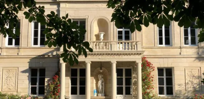
- Alençon: the Château des Ducs d'Alençon, the Musée des Beaux-Arts et de la Dentelle (whose lace-making craftsmanship is UNESCO-listed), the Maison de Sainte-Thérèse, the basilica, the Halle au Blé, the Parc des Promenades and the Maison d'Ozé are among the not-to-be-missed sights of this charming town, classified as a Site Patrimonial Remarquable and Town of Art and Craft. For further information, see more details under the stage covering Le Mêle-sur-Sarthe / Alençon.
- The River Sarthon and its tributaries meander along following the slopes of the hills in these parts.
- The Mont des Avaloirs, the highest point in France's northwest quarter (at an altitude of 416m) as well as a listed natural reserve, offering splendid views over the traditional hedge-divided fields in these parts. On exceptionally clear days, it's said that you can spot the silhouette of the Mont Saint-Michel far away. You can reach the summit by branching off the greenway shortly after the tunnel at the level of the village of Lalacelle.
On the map, activate the to discover nearby services and points of interest.
Food and drink en route
- Alençon: with many food and drink stores and markets on Thursday, Saturday and Sunday mornings.
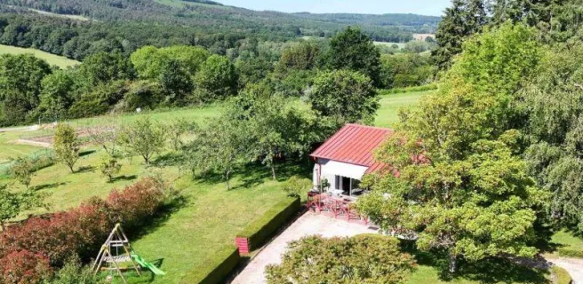
- Pré-en-Pail-Saint-Samson: with many stores and a market on Saturday mornings on Place du Général de Gaulle.
Bring up Accueil Vélo accredited restaurants by clicking on the 🍴 icon on the map. De-select "only show Accueil Vélo services" to view further options.
Bike repair
Consult the list of all the bike repairers along or near the route.
Nearby train stations
- Alençon station
See our article on reaching the veloscenic cycle route for more information on options for travelling with a bicycle.