


Pré-en-Pail-Saint-Samson / Bagnoles-de-l'Orne
Continue your cycling journey on the greenway leading to Bagnoles-de-l'Orne Normandie. This stretch serves as a link between the French counties of Orne and Mayenne, meandering through landscapes marked by rivers, forests and hedge-divided fields typical of the Parc Naturel Régional Normandie-Maine. Safe and well signposted, this stage presents no particular physical challenges. Before reaching Bagnoles-de-l’Orne, stop at the Chapelle de Notre-Dame de Lignou, with its supposedly miracle-working statue and its pilgrims’ tales and legends. Do make a detour to see the 16th- and 18th-century grounds of the Château de Couterne.
Gradients and elevation
Road types
Surface
On this stage, you are following one of the two alternative routes between Alençon and Bagnoles de l'Orne Normandie. Still undecided which to choose? See the dedicated paragraph in our Frequently Asked Questions.
Stage description
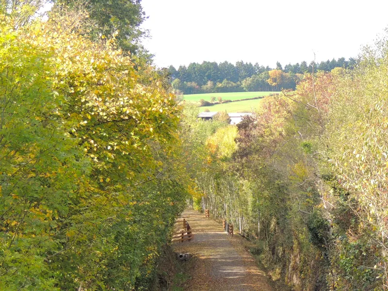
Departing from Pré-en-Pail-Saint-Samson, cross the N12 trunk road and then follow a greenway for 18km, taking you into the commune (parish) of Rives d'Andaine. The compacted sandy surface is smooth and not pot-holed.
At Rives d'Andaine, leave the greenway and follow the signposting to reach Bagnoles riding along quiet little roads for 6km. This stage doesn't present cyclists with any physical challenges.
Not to be missed:
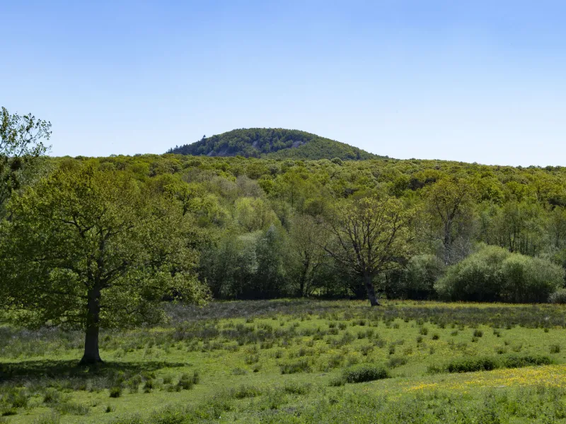
- The Mont des Avaloirs, the highest point in France's northwest quarter (at an altitude of 416m) as well as a listed natural reserve, offering splendid views over the traditional hedge-divided fields in these parts. On exceptionally clear days, it's said that you can spot the silhouette of the Mont Saint-Michel far away. You can reach the summit by branching off the greenway shortly after the tunnel at the level of the village of Lalacelle.
- La tomme de Pail is a local cheese that you can find in the delicatessen Le Comptoir in Pré-en-Pail-Saint-Samson.
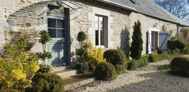
- La ferme de la Mercerie offers guided tours of the production of their excellent goat's cheeses.
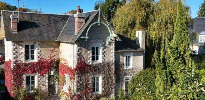
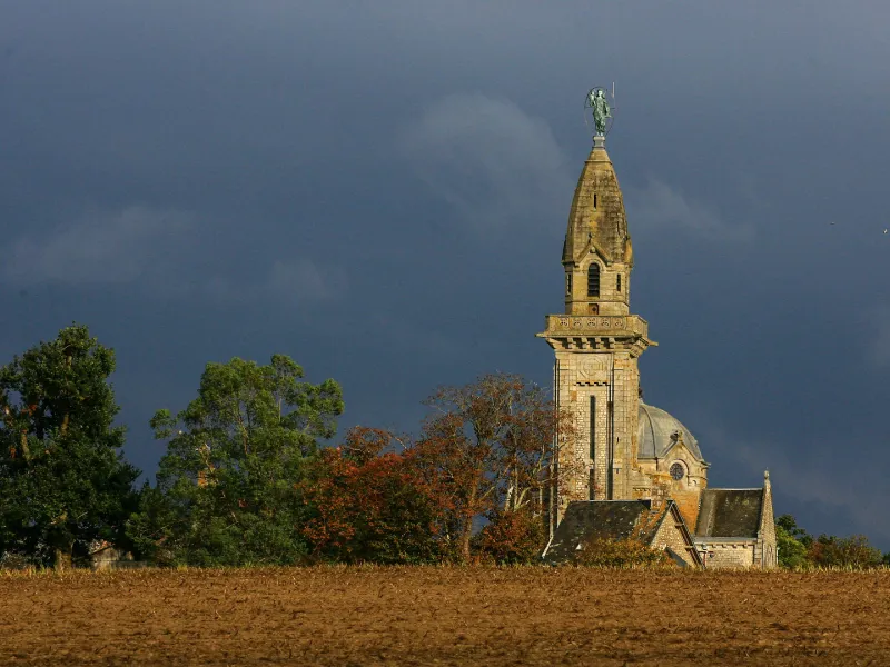
- Chapelle Notre-Dame de Lignou: standing out between Couterne and Bagnoles-de-l'Orne, you can't miss its 40m-high steeple. The interior was redone at the start of the 20th century in neo-Byzantine style and includes splendid mosaics.
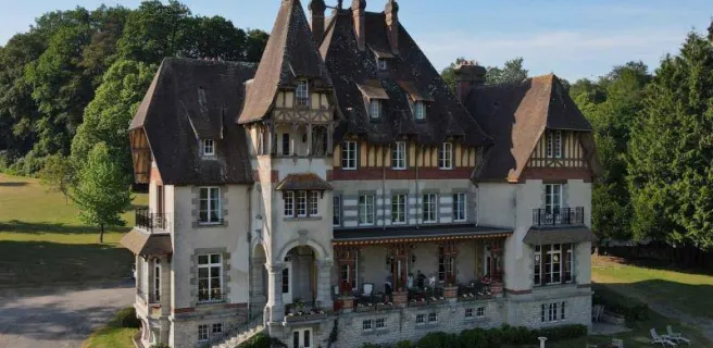
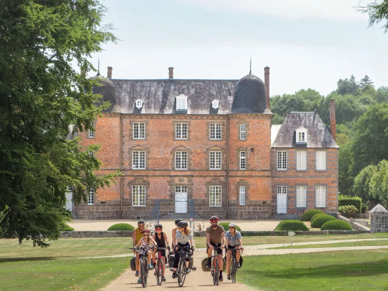
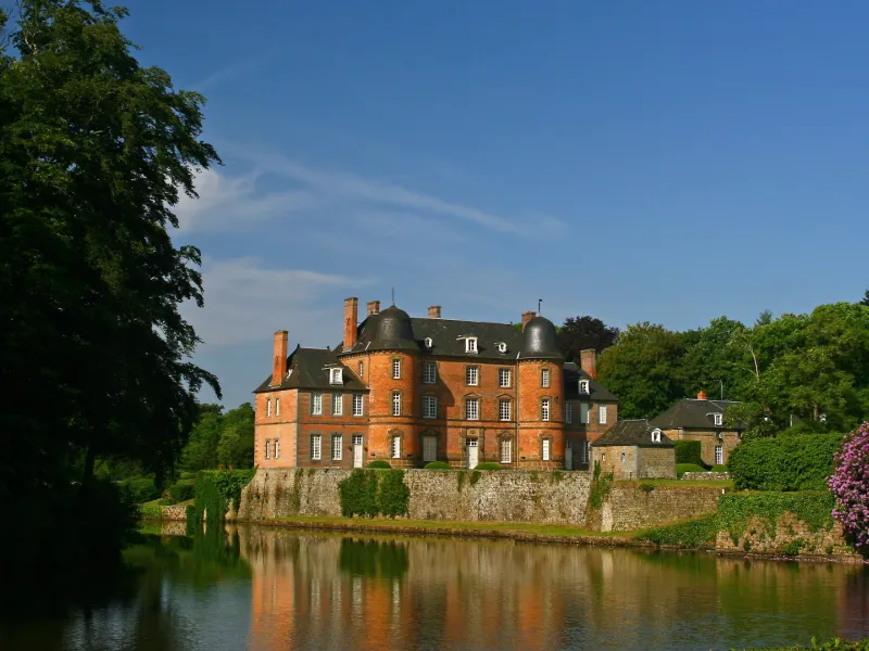
- The grounds of the Château de Couterne covering some 20 hectares and with over 3km of well-maintained, wood-lined paths that prove a joy to walk along. Open freely year-round.
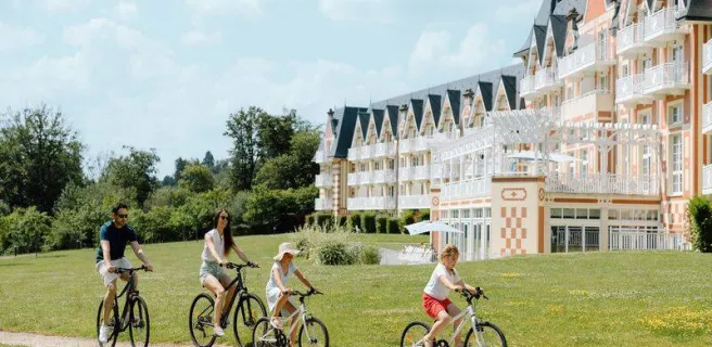
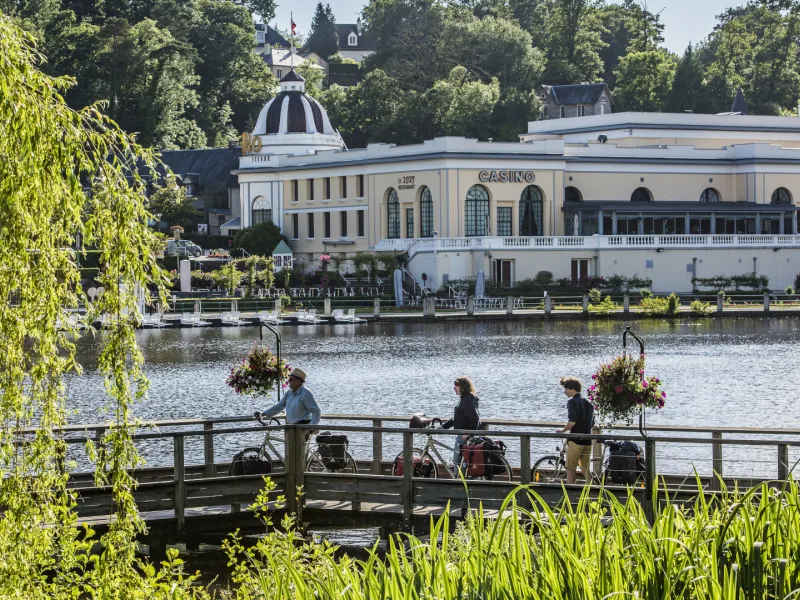
- Why not treat yourself to a relaxing stopover in the natural spa town of Bagnoles de l'Orne, with its delightful lake, arboretum, Belle Époque villas and casino. Climb the Roc au Chien by foot to enjoy the views.
On the map, activate the to discover nearby services and points of interest.
Food and drink en route
- Pré-en-Pail-Saint-Samson: with many stores and a market on Saturday mornings on Place du Général de Gaulle.
- Neuilly le Vendin: a few small shops (reached via little roads by leaving the greenway 11km after Pré-en-Pail-Saint-Samson).
- Rives d'Andaine: boulangerie and a market on Tuesday mornings on Place de l'église.
Bike repair
- Peugeot Bayi Cycles et Vélos Concessionnaires, Alençon. +33 2 33 29 65 13.
- Intercycle Alençon, Condé-sur-Sarthe. +33 9 77 95 44 60.
- Tendance Vélo, La Ferté-Macé (approx. 8km from the Véloscenic route). +33 2 33 66 20 25.
- La Caisse à Vélo (mobile repairer). +33 6 58 77 12 01
Consult the list of all the bike repairers along or near the route.
Nearby train stations
- Bagnoles de l'Orne coach station (with shuttle bus service to reach the train station at Briouze, on the Paris-Granville railway line)
- Gare de Briouze station (Paris-Granville line) accessible by bike by following a greenway for 21km from Bagnoles de l'Orne
See our article on reaching the veloscenic cycle route for more information on options for travelling with a bicycle.