
10 stages · 193 km

Gradients and elevation

Ascents: 569m
Descents: 729m
Lowest point: 5m
Highest point: 310m

Road types

154km (80%) Cycle path
39km (20%) By road

Surface

133km (69%) Smooth
31km (16%) Rough
30km (15%) Unknown

10 stages used

Mortagne-au-Perche / Le Mêle-sur-Sarthe

16 Mortagne-au-Perche / Le Mêle-sur-Sarthe

15 km
1 h 01 min
I begin / Family
Continuing to ride along the greenway from Condé-sur-Huisne to Alençon, you leave behind the Perche, but enter the Parc Naturel Régional Normandie-Maine. The Lac du Mêle-sur-Sarthe offers a very refreshing halt, much appreciated by children.
Le Mêle-sur-Sarthe / Alençon

17 Le Mêle-sur-Sarthe / Alençon

24 km
1 h 35 min
I begin / Family
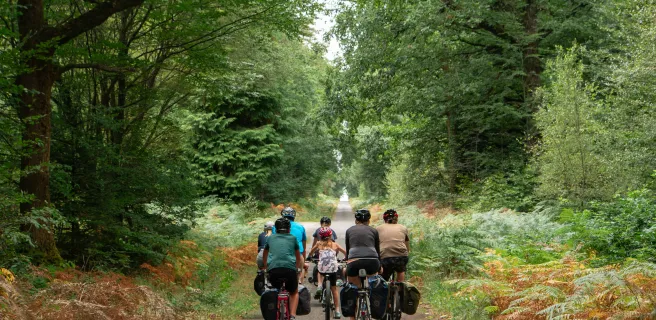
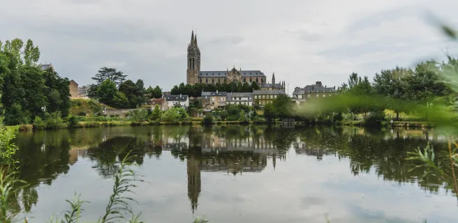
This stage offers a lovely path through the Bourse Forest, beside the Vésone River. As you cycle on through fields, the town of Alençon appears. Take time exploring this historic centre with its rich and varied architectural heritage and its traditional craft skills, notably needle-point lace-making.
Alençon / Pré-en-Pail-Saint-Samson

18 Alençon / Pré-en-Pail-Saint-Samson

28 km
1 h 54 min
I begin / Family
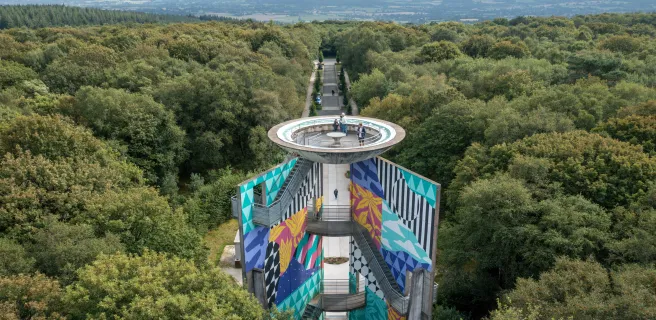
On this stage, you ride to Bagnoles de l'Orne along the most family-friendly of alternative routes, going via Pré-en-Pail-Saint-Samson and the Mont des Avaloirs, the highest point in the Armorican Massif and the wider Grand Ouest region (basically, northwest France). From Damigny up to Pré-en-Pail-Saint-Samson, you cycle along a former railway line turned easy, safe greenway, taking you through airy, unspoilt areas, such as the Sarthon Valley and the Réserve Naturelle Régionale du Mont des Avaloirs.
Pré-en-Pail-Saint-Samson / Bagnoles-de-l'Orne

19 Pré-en-Pail-Saint-Samson / Bagnoles-de-l'Orne

25 km
1 h 41 min
I begin / Family
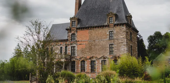
Continue your cycling journey on the greenway leading to Bagnoles-de-l'Orne Normandie. This stretch serves as a link between the French counties of Orne and Mayenne, meandering through landscapes marked by rivers, forests and hedge-divided fields typical of the Parc Naturel Régional Normandie-Maine. Safe and well signposted, this stage presents no particular physical challenges. Before reaching Bagnoles-de-l’Orne, stop at the Chapelle de Notre-Dame de Lignou, with its supposedly miracle-working statue and its pilgrims’ tales and legends. Do make a detour to see the 16th- and 18th-century grounds of the Château de Couterne.
Bagnoles-de-l'Orne / Domfront

20 Bagnoles-de-l'Orne / Domfront

21 km
1 h 24 min
I cycle often
Leaving the natural thermal spa town of Bagnoles-de-l’Orne, cycle off through the heart of the state-run Andaines Forest. Then you ride past apple orchards and hedge-divided fields. All this variety offers a typical view of Normandy in concentrated form.
Domfront / Barenton

21 Domfront / Barenton

17 km
1 h 07 min
I begin / Family
Getting up to and down from the medieval hill town of Domfront proves a challenge, demanding energy and concentration. But once back down on the greenway (which links here to La Vélo Francette cycle route), the way along this stage offers lovely glimpses of Normandy’s typical hedge-divided countryside, particularly beside the Sélune River.
Barenton / Mortain

22 Barenton / Mortain

10 km
41 min
I begin / Family
The village of Mortain appears on its slope, in the green heart of the bocage normand, the region’s traditional hedge-divided fields. It also stands at the junction of the Veloscenic and Vélomaritime cycle routes. Explore the typical landscapes of the Mortainais area, offering a mix of countryside, forest, rocks and cliffs.
Mortain / St-Hilaire-du-Harcouët

23 Mortain / St-Hilaire-du-Harcouët

11 km
43 min
I begin / Family
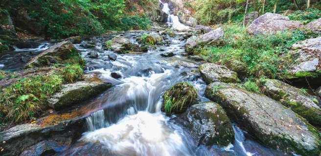
Begin this stage by visiting the enchanting site of the waterfalls on the Cance River. Then set off on a lovely, peaceful stage leading you through several small towns… plus you also pass in front of several former train stations.
St-Hilaire-du-Harcouët / Ducey-lès-Chéris

24 St-Hilaire-du-Harcouët / Ducey-lès-Chéris

19 km
1 h 15 min
I begin / Family
You may get a scent of sea air as you ride along this penultimate stage between the town of St-Hilaire-du-Harcouët, founded by a companion in arms of William the Conqueror, and Ducey, a former port where boats would arrive, pushed along by the tide.
Ducey-lès-Chéris / Mont-Saint-Michel

25 Ducey-lès-Chéris / Mont-Saint-Michel

22 km
2 h 03 min
I begin / Family
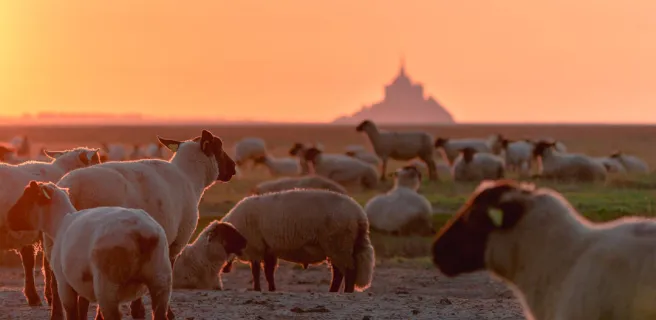
Discover the final stage of the Veloscenic cycle route: the greenway meanders towards the mouth of the Sélune River. Then begins a festival of glimpses of the Mont Saint-Michel through small Norman villages. The hedgerow countryside gives way to salt meadows, and the sea air gradually makes itself felt. You're almost there — the Marvel of the West is now just a few kilometres away...
Afficher les étapes
Details