3 stages · 74 km

Gradients and elevation

Ascents: 378m
Descents: 369m
Lowest point: 122m
Highest point: 310m

Road types

32km (42%) By road
43km (80%) Cycle path
17km (33%) Provisional itinerary

Surface

49km (176%) Smooth
7km (24%) Unknown

3 stages used

Alençon / Pré-en-Pail-Saint-Samson

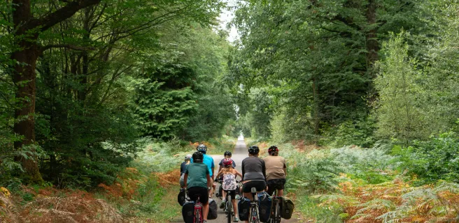
18 Alençon / Pré-en-Pail-Saint-Samson

28 km
1 h 54 min
I begin / Family
On this stage, you ride to Bagnoles de l'Orne along the most family-friendly of alternative routes, going via Pré-en-Pail-Saint-Samson and the Mont des Avaloirs, the highest point in the Armorican Massif and the wider Grand Ouest region (basically, northwest France). From Damigny up to Pré-en-Pail-Saint-Samson, you cycle along a former railway line turned easy, safe greenway, taking you through airy, unspoilt areas, such as the Sarthon Valley and the Réserve Naturelle Régionale du Mont des Avaloirs.
Pré-en-Pail-Saint-Samson / Bagnoles-de-l'Orne

19 Pré-en-Pail-Saint-Samson / Bagnoles-de-l'Orne

25 km
1 h 41 min
I begin / Family
Continue your cycling journey on the greenway leading to Bagnoles-de-l'Orne Normandie. This stretch serves as a link between the French counties of Orne and Mayenne, meandering through landscapes marked by rivers, forests and hedge-divided fields typical of the Parc Naturel Régional Normandie-Maine. Safe and well signposted, this stage presents no particular physical challenges. Before reaching Bagnoles-de-l’Orne, stop at the Chapelle de Notre-Dame de Lignou, with its supposedly miracle-working statue and its pilgrims’ tales and legends. Do make a detour to see the 16th- and 18th-century grounds of the Château de Couterne.
Bagnoles-de-l'Orne / Domfront

20 Bagnoles-de-l'Orne / Domfront

21 km
1 h 24 min
I cycle often
Leaving the natural thermal spa town of Bagnoles-de-l’Orne, cycle off through the heart of the state-run Andaines Forest. Then you ride past apple orchards and hedge-divided fields. All this variety offers a typical view of Normandy in concentrated form.
Afficher les étapes